Survey on the sky
Planned coverage
Nominal planning geometry at V3PA 87°
NIRCam
Primary imaging footprint
Module A and B envelopes for each survey field
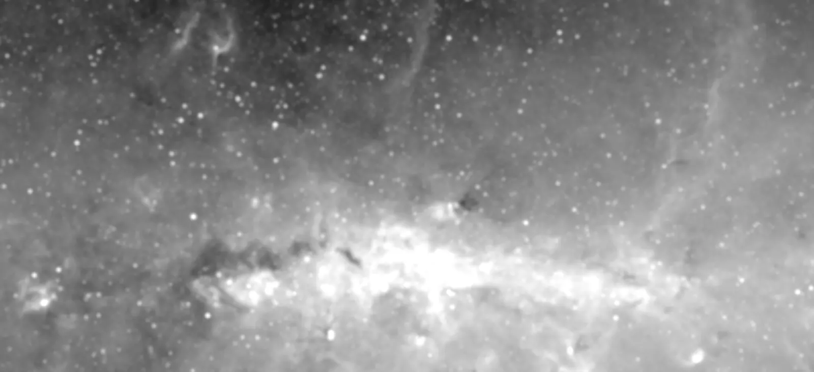 Loading NIRCam footprints…
Galactic coordinates
ℓ +1.25°
ℓ −1.05°
Loading NIRCam footprints…
Galactic coordinates
ℓ +1.25°
ℓ −1.05°
MIRI
Coordinated-parallel footprint
MIRI field of view associated with each NIRCam pointing
Loading MIRI footprints…
Galactic coordinates
ℓ +1.25°
ℓ −1.05°
Footprints derived from the Program 10678 APT file using the matching JWST SIAF. Background: Spitzer/IRAC 8 μm. The final on-sky orientation may differ within the approved 79–95° V3PA range.
Programme at a glance
Field status
Loading survey fields…
Flight Ready
Scheduled
Completed
Failed
Loading the latest STScI visit report…
Visit information is temporarily unavailable.
The latest data file could not be loaded. Please check the source report.
No matching fields
Try a different target name or status filter.